Technical designation: all-mountain trail
Who it is for: for people who want difficult, dangerous, and gnarly trails but want to get a load of cardio work at the same time
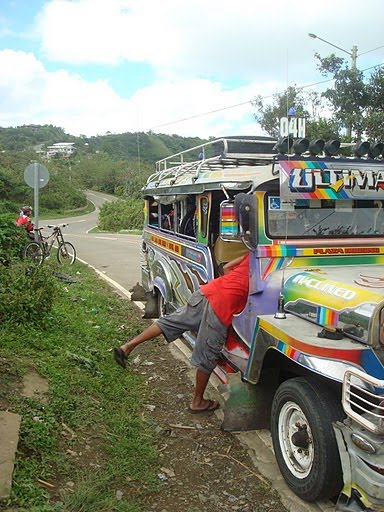
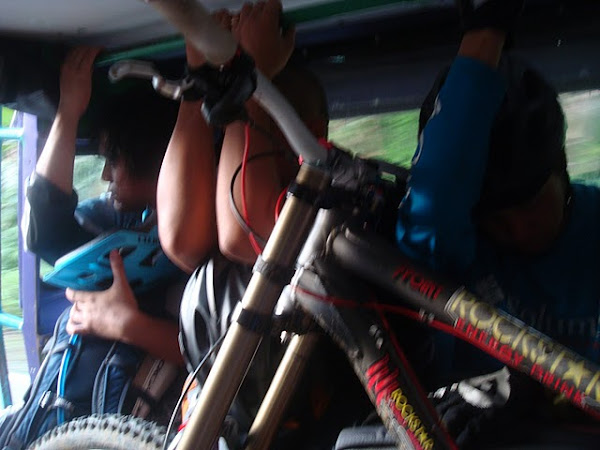
The drill is like this: we take a jeep to save time and energy to where we drop off. You can call it the trailhead if you like. It was a beautiful place we went to: fogs dim the otherwise-frying sun while sharp ridges covered with green deck the horizon in every direction, save for the southeast where the sea lounges in passive unreality. (What am I even doing with these words.)


Steep, sudden descents, blind curves (that if you don’t guess the angle right will make you end up in the trail up there), and stair-like surface that give you the feeling that your internal organs might exchange places anytime soon. Of course, the simple solution to all these predicaments, next to staying at home and watchign tv, is going slow.
Not all parts of the trail are like that. There are friendlier ones, just like that one in the picture below. Well, don’t mind that guy. He’s not scared that’s why he’s pushing he’s bike. He’s just admiring nature and all and trying to avoid using his health insurance just yet.
Not all parts of the trail are like that. There are friendlier ones, just like that one in the picture below. Well, don’t mind that guy. He’s not scared that’s why he’s pushing he’s bike. He’s just admiring nature and all and trying to avoid using his health insurance just yet.

There is always that part where you take a group photo. This makes it easier to do the statistics of the bikers who made it and those who didn’t. The guy who took this photo is, obviously, not here. (But how can something that is not there be obvious? Or it’s the not being there that’s obvious? Am I nuts?!)

So you come to the part where you meet a manong and a manang. Life in the bukid is not that easy, unless you are in Mt. View eating your take-out Jollibee while taking photos of a city that, you will find out later on, appear like...well, there’s no other way to describe that kind of photo. It sucks! I digress too much. Anyway, the only real access you have out there is fresh air. Getting water and food needs some work done. You can see from manong’s posture a lifetime of labor that probably will go on until his spirit decides to call it quits.
And as you may see, taking photos there is not easy either especially when there is a dog that pops out of nowhere to try to ruin your photo.

The middle part of the trip is where you feel so thirsty and exhausted that you look like you are just about ready to devour anything. When you are in this part, be sure that you are the one holding the camera or you might get caught in the act of doing something that looks really desperate.

Until you reach a place where you do something retard....

The background is Lake Casuy, part of Toledo. We started in Gaas, Balamban. I would rather not waste my time giving geography lessons so you better go out there yourself. And you cannot help it but keep on trying to look like retards so let us give ourselves the opportunity to indulge...

After a day’s fun, everybody looked either they have been raped or have lost their favorite dog. That does not mean though that there were some regrets(well, those who fell have a slightly different story).

It does not mean either that the fun has ended already because after hours and hours of roller-coaster single tracks and brain-shattering rock gardens, we end the day with a seven-kilometer long asphalt descent at Manipis, Talisay. Everything was great and the smile that we brought with us stayed with us.

for gay pics: Gaas, Balamban, Cebu

1 comment:
brah, maybe you can post a map/route for this trail. wanna try
Post a Comment